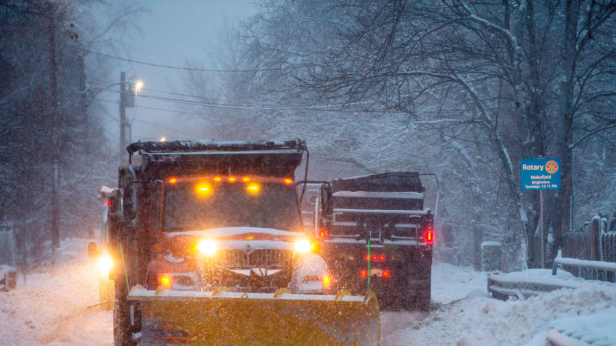
A strong cold front bringing rain, snow and freezing temperatures could make for a messy commute for a large swath of the south and East Coast on Wednesday.
The rain and cold air that hit much of the east on Tuesday is turning into snow in parts of the south and in the Northeast, forecasters said. Winter weather advisories are in effect for over 20 million, including New York City, where a few inches of snow is forecast on Wednesday.
Residents likely won’t be digging out their cars Wednesday morning, but sleet and snow could create slick spots and lead to dangerous driving conditions.
“Slow down and use caution while traveling,” the National Weather Service’s New York office warned.
Upper Midwest
The upper Midwest will see below freezing temperatures Wednesday morning. Wind chill could drop as low as 20 to 30 degrees below zero in parts of North Dakota, northern Minnesota, northern Wisconsin, and Michigan, the National Weather Service said.
A wind chill advisory has been issued for parts of the region, including Fargo, North Dakota, where forecasters are expecting wind chills as low as 40 degrees below zero. The advisory will last until midday Wednesday.
“The dangerously cold wind chills could cause frostbite on exposed skin in as little as 10 minutes,” the weather service said.
Wind chill can lead to frostbite, hypothermia, and even death. Frostbite is caused by freezing of the skin and underlying tissues. It’s most common on the fingers, toes, nose, ears, cheeks, and chin, according to the Mayo Clinic.
West Coast
Meanwhile, the Pacific Northwest could see rain and some snow in the mountains.
A Pacific storm system will push through the region through Friday, bringing rainfall accumulation from Seattle down to Eureka, California, said CNN meteorologist Michael Guy. Eureka could see two to four inches of rainfall accumulations.
The Cascade Range from Washington State to Northern Oregon will see heavy snow maxing out at 4 feet in the highest elevations, Guy said.
![]()


