Mother Nature will bring some warm Christmas cheer to much of the country Wednesday, though a few cities will encounter thick morning fog, and a storm system threatens to dump snow and rain on California, forecasters say.
Dreaming of a White Christmas?
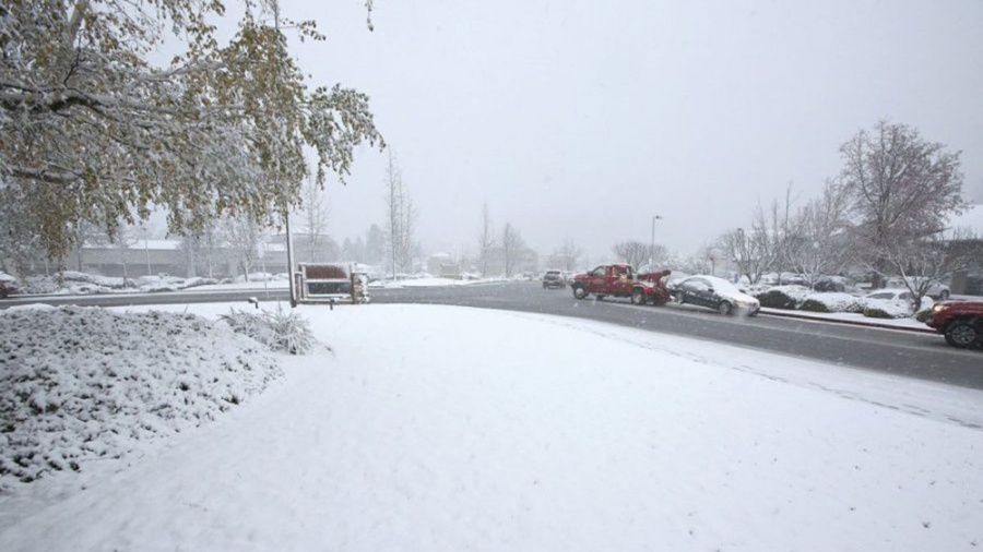
The mountainous regions of California should expect the brunt of the storm with some locales slated to see whiteout conditions, blowing snow and icy roads through Thursday morning. That includes higher elevations near Los Angeles and Ventura, which could see up to 2 feet of snow, the National Weather Service in Los Angeles says.

The Cuyama Valley north of Santa Barbara could see up to 3 inches of snow, while the Antelope Valley north of Los Angeles could see as many as 8 inches of the white stuff, the weather service said.
The heaviest rain and snow will begin falling Wednesday evening.
Through Thursday, rain will drench parts of Southern California, with up to 3 inches possible in Pasadena and Ojai, threatening flash flooding and debris flows, especially in areas that have been scorched by wildfires.
The worst of the rainfall will land on Santa Barbara, Ventura, and Los Angeles counties, and the higher elevations of Los Angeles and Ventura counties may see wind gusts up to 45 mph.
All of this could add up to holiday travel delays and power outages in the region.
Snow is also expected in parts of New Mexico, Colorado, Utah, Nevada, Wyoming, Idaho, and Montana, and temperatures across the Southwest should be 5 to 10 degrees below average. Snow could reach West Texas by Friday.
A smaller system will roll through the Upper Midwest on Wednesday, bringing a mix of precipitation to parts of the Dakotas and the northern portions of Minnesota, Wisconsin, and Michigan through Thursday.
Snow shouldn’t top 2 inches in those areas, and forecasters predict the weather will leave a thin sheen of ice in parts of the region.
Hello Sunshine
While lovely weather is forecast for most of the country east of the Rocky Mountains, about 40 million people will be under dense fog advisories Christmas morning. Most of the advisories will expire by about 10 a.m. ET.
Among the cities impacted will be Minneapolis, Detroit, Pittsburgh, Atlanta, Green Bay, Wisconsin; Columbus, Ohio, and El Paso, Texas.
Once the fog clears, pleasant weather is in store, with temperatures 15 to 30 degrees above average. The East Coast should remain dry Wednesday.
High-temperature records could be in store for St. Louis, Kansas City, Missouri; Des Moines, Iowa; Louisville, Kentucky, and Little Rock, Arkansas.
In the central and southern US, temperatures will climb into the 60s and 70s Wednesday, and in the Northeast and Midwest, temperatures will reach the 40s and 50s.
The dry conditions and warm weather in the Southeast, Midwest, and Northeast will continue into Thursday, but they won’t last through the weekend.
The storm moving from California, the Southwest and Texas will hit the central United States by Saturday and the eastern part of the country by Sunday, bringing rain to the regions.
![]()


