
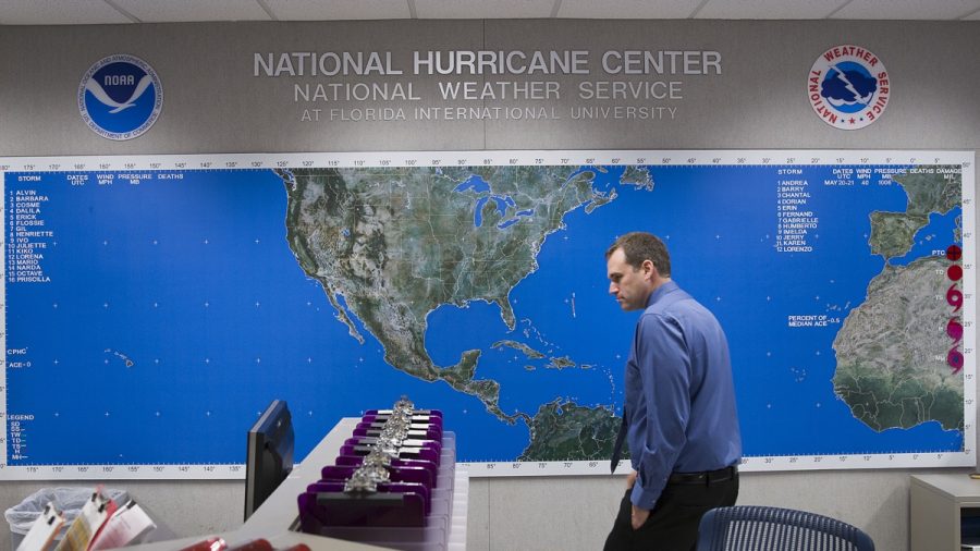
The Bay of Campeche in the Gulf of Mexico is under storm watch on June 1—the first day of the 2019 Atlantic hurricane season.
"Today is the first day of the 2019 hurricane season and there is a system that NHC is monitoring for development," said the National Hurricane Center (NHC) on Twitter. "A broad low over the Bay of Campeche has a medium chance of becoming a tropical cyclone before it reaches the coast of Mexico in a few days."
According to the NHC, the weather system is expected to move slowly west-northwest toward the coast of Mexico, with the potential to become a tropical cyclone before moving inland.
The NHC said the next few days will most likely produce heavy rainfall over portions of southern and eastern Mexico, regardless of whether a cyclone develops or not.
If necessary, the Air Force Reserve will send a reconnaissance aircraft to investigate the disturbance on June 2.
Hurricane Awareness Tour
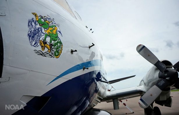
The National Oceanic and Atmospheric Administration (NOAA) and the U.S. Air Force (USAF) conducted an eleven city, 2-week-long tour this year to raise awareness and urge people to plan ahead for the hurricane season.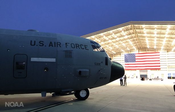
The public and media were able to board and tour the airplanes used for hurricane missions: the USAF Reserve WC-130J named the “hurricane hunter”of the 403rd Wing, 53rd Reserve, and the NOAA 42 named "Kermit."
Being Prepared
According to the Ready government website—a site designed to plan ahead for disasters—hurricanes can occur along any U.S. coast and affect areas more than 100 miles inland, as well as any territory in the Atlantic or Pacific oceans.- Become familiar with evacuation zones, routes, and shelter locations.
- Find safe shelter right away when under hurricane warnings.
- Listen for emergency information and alerts.
- Evacuate if told to by authorities.
- Do not walk, swim, or drive through flood waters.
- Restock your emergency preparedness kit.
- Gather food and water sufficient for at least three days, medications, a flashlight, batteries, cash, and first aid supplies.
- Plan how to communicate with family members if you lose power. Texting is usually more reliable and faster than phone calls in case phone lines are overloaded.
- Keep your car in good working condition, and keep the gas tank full; stock vehicle with emergency supplies and clothes.
- Close storm shutters, and stay away from windows.
With one named storm already this year in May over the western Atlantic called Andrea, the next storm will be called Barry.
The Atlantic hurricane season runs from June 1 to Nov. 30, with the most active month being September. The Pacific hurricane season is from May 15 to Nov. 30.