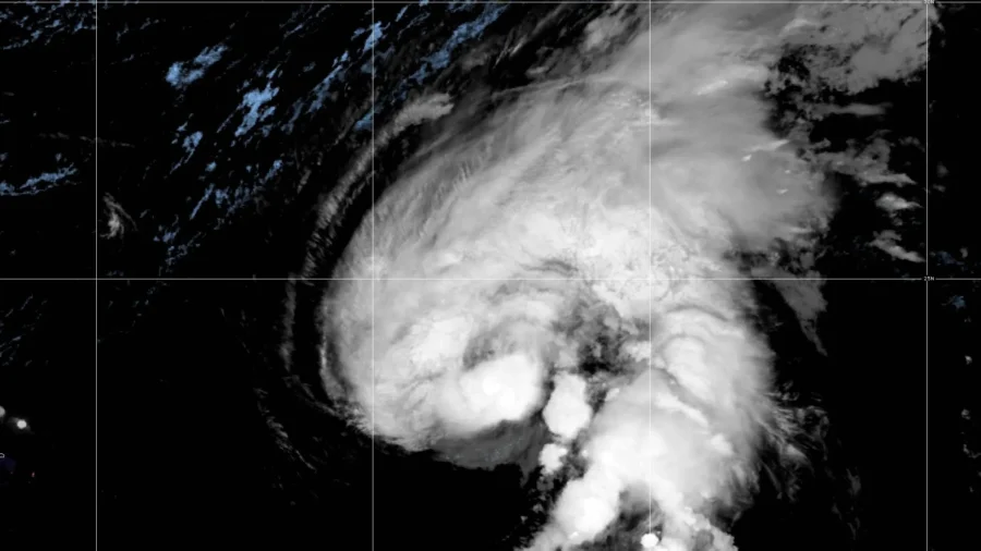
SAN JUAN, Puerto Rico—Hurricane Tammy unleashed heavy rain in the northeast Caribbean on Monday as it spun over open waters after making landfall in Barbuda.
The storm was located about 695 miles (1,115 kilometers) south of Bermuda. It had maximum sustained winds of 75 mph (120 kph) and was moving north-northeast at 7 mph (11 kph).
Tammy was expected to strengthen slightly in upcoming days and then weaken, according to the U.S. National Hurricane Center in Miami.
The storm was forecast to drop up to three inches (eight centimeters) of rain in the Virgin Islands and the northern Leeward Islands, with meteorologists warning of mudslides and isolated flash flooding. Officials in the Dutch Caribbean territory of St. Maarten kept schools closed Monday.
Also in the Atlantic, a tropical depression formed Monday near Nicaragua’s south coast. It was located about 35 miles (55 kilometers) southeast of Bluefields, Nicaragua and had top winds of 30 mph (45 kph). It was moving west at 5 mph (7 kph).
The depression was expected to drop up to 12 inches (30 centimeters) of rain in Nicaragua and up to six inches (15 centimeters) in southern and eastern Honduras. It was forecast to dissipate on Tuesday.
Meanwhile, Tropical Storm Otis whirled through open waters in the Pacific on a path toward Mexico’s southern coast.
The storm was located about 305 miles (490 kilometers) south-southeast of Acapulco, Mexico. It had winds of up to 50 mph (85 kph) and was moving north-northwest at 7 mph (11 kph).
A hurricane watch and a tropical storm warning was in effect from Lagunas de Chacahua to Tecpan de Galeana, with up to 15 inches (38 centimeters) of rain forecast for Guerrero and western Oaxaca.
Otis was expected to be near hurricane strength before reaching Mexico’s southern coast early Wednesday.


