
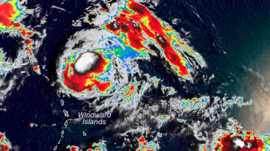
Jerry strengthened to a Category 2 hurricane on Sept. 20 and was packing sustained winds of 105 mph in the Atlantic as it headed in the direction of the northern Leeward Islands, forecasters said.
The storm will pass north of the islands later Friday and well north of Puerto Rico Saturday, the National Hurricane Center said.
By Sunday, it will be "well east-northeast" of the southeastern Bahamas, the center said.
The hurricane could pass near Bermuda in a little more than four days, it added.
Jerry, which was churning 290 miles east of the northern portion of the Leeward Islands early Friday, is expected to weaken throughout the day but will still remain a hurricane over the next couple of days, the center said. Its hurricane-force winds extended up to 25 miles while tropical-storm-force winds could be felt 80 miles from the storm's center.
Tropical storm watches are in effect for the islands of St. Maarten, St. Martin, St. Barthelemy, Saba and St. Eustatius.
Here’s What You Can Expect
Jerry—the 10th named storm of the 2019 Atlantic hurricane season—will dump up to three inches of rain from Barbuda northwest across St. Maarten, Anguilla, and Anegada, the hurricane center said.It will drop up to 2 inches of rain across the Virgin Islands and Puerto Rico, it said.
The northern Leeward Islands will also see swells that are likely to cause "life-threatening surf and rip current conditions," according to the center.
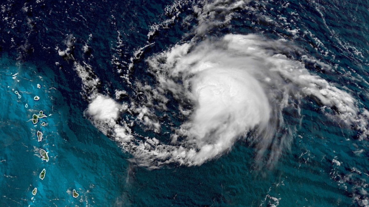
Hurricane Lorena
The National Hurricane Center in Miami has upgraded Lorena to a hurricane as it bears down on Mexico’s Baja California peninsula.Forecasters say Hurricane Lorena now has maximum sustained winds of 75 mph and is still about 100 miles away as it moves toward Cabo San Lucas at 9 mph.
The Category 1 hurricane is expected to cause damaging winds, flash flooding and life threatening surf along the peninsula.