Powerful storms could bring dangerous winds and flooding or snow and ice on Saturday to tens of millions of people across the United States.
The storm will primarily hit the eastern half of the country—the Southeast, Midwest and eventually the Northeast—from now into early next week.
Here’s how regions could be affected:
Dangerous Storms and Tornadoes in the South and Parts of the Midwest
Across the central U.S. and the South, severe storms will march east, impacting the entire Mississippi River Valley.
Heavy rain and strong winds already were pounding some of these areas Saturday morning, downing power lines along the way. More than 200,000 homes and businesses were without power in five states—Texas, Louisiana, Arkansas, Mississippi and Tennessee—by 7:30 a.m. ET, according to the online project PowerOutage.
In Louisiana, downed trees and power lines littered some roadways. Parts of Interstate 20 were closed near Minden on Saturday morning, and state police asked motorists to avoid the area if possible.
Northwest Louisiana Traffic Advisory Interstate 20 Closure
Webster Parish (East of Minden) – I-20 is closed eastbound at mile post 49 and is closed westbound at mp 52. Please avoid the area if possible. Trees and power lines are reported across many roadways.
— LA State Police (@LAStatePolice) January 11, 2020
From eastern Louisiana to the Carolinas and as far north as southern Michigan could experience these strong rainstorms, and flooding could ensue.
Flood warnings and watches were in effect in many states the long line of storms is hitting Saturday.
Strong, damaging winds are expected Saturday across the South—even well in advance of the storms. Some storms also could produce large hail and dangerous tornadoes.
“Everyone should be on high alert, as this type of system is rare for January,” CNN meteorologist Taylor Ward said. “A system of this magnitude is more common in the spring, when we typically see dangerous tornado outbreaks.”
Crippling Snow and Ice in the North
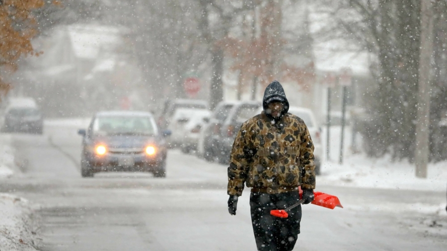
Winter weather advisories have been issued in areas from Kansas to Michigan, with severe snow and ice storms in the forecast.
Snow, sleet and freezing rain are expected in parts of Oklahoma, eastern Kansas, Missouri, northern Illinois, eastern Iowa, southern Wisconsin and much of Michigan.
Parts of Michigan could see anywhere from one-half inch to three-quarters of an inch of ice. Other areas could see anywhere from a light glaze to a half inch of ice.
“Ice storms can be extremely dangerous,” CNN meteorologist Dave Hennen said. The amount of ice forecast for Michigan could bring down trees and power lines, which could cause widespread power outages.
“Power could be out for days, with temperatures below freezing,” he said. “Ice storms can cause deadly travel conditions, worse than even a foot of snow. Four-wheel drive vehicles and trucks are no match for the kind of ice that is forecast.”
A foot of snow could fall in Des Moines through Sunday, with at least 8 inches of snow in southern Wisconsin and northern Michigan.


