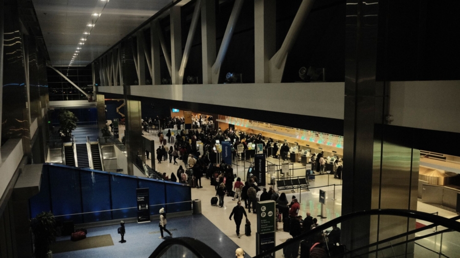
Holiday travelers should be thankful as Thanksgiving week kicks off on a tranquil note across much of the Lower 48, says the Weather Prediction Center (WPC).
AAA is predicting travel this holiday week will be back to near pre-pandemic levels.
With higher travel numbers combined with the weather, it could add up to some delays on the roadways and in the air this week.
This week, the early storm system does not seem significant. However, regardless of the weather this week, due to the busy holiday travel, any normal or even weak storm could significantly impact what millions of Americans do this week.
“As the holiday week gets off and running, much of the continental U.S. will be devoid of hazards the first half of the week,” the WPC says.
What to Expect Ahead of Thanksgiving
Many in the East woke up Monday morning to the pitter-patter of light rain falling on their roofs. A cold front is pushing through the region.
Monday afternoon winds will really begin to kick up behind the storm front. Wind gusts could top out at 30 mph.
The two most common airport delays are low ceilings—low clouds—and wind during winter.
“The combination of airport surface winds and low ceiling and visibility conditions account for about 75 percent of delays,” the Federal Aviation Administration explained.
Although not incredibly strong, the wind direction could be problematic Monday afternoon for the way runways are configured in the New York metro area.
These winds will be persistent through Tuesday and possibly even into Wednesday across the Northeast.
Chicago is another major airport hub that could see delays from wind Monday and other points during the week. Especially on Wednesday when winds will reach gusts of up to 40 mph.
Cold Canadian Air Dips South
Cold Canadian air will infiltrate the eastern third of the United States behind the cold front.
“It certainly feels like the Holiday Season is upon us in the East where below normal temperatures look to set up shop through Wednesday morning,” the WPC says.
Temperatures will struggle to get out of the 30s in much of the Great Lakes region.
“The Upper Great Lakes will receive several inches of snow today as cold air rushing over the warm Great Lakes activates the lake effect snow machine downwind of Lakes Superior, Michigan, Erie, and Ontario,” the WPC says.
With temperatures dropping to near the freezing mark in some locations, air travel delays due to deicing are also possible, especially during the overnight and early morning hours.
Temperatures are running about 10–20 degrees below normal and will push further east into the major Northeast cities by Tuesday.
“There is a chance that temperatures reach the freezing mark for the first time this season at Central Park,” Monday night into Tuesday, the New York National Weather Service office says.
“Even in the Southeast, daily temperature anomalies of 10 to 15 degrees below normal are anticipated into Wednesday,” the WPC says.
The Heaviest Snow Is in the Northwest
Early in the week, the snowiest and most unsettled weather will be confined to the Northwest, from the Pacific coast, and as far inland as the Northern Rockies.
“By Wednesday morning, the heaviest snowfall totals likely occur in the Cascades where over a foot of snow in the highest of elevations is expected. Parts of the Bitterroots and Lewis Range can also expect 6 to 12 inches of snowfall,” the WPC says.
The lower elevations will not see the heavy rainfall they have experienced the past few weeks. Instead, it will be the lighter variety people in Seattle are more used to seeing.
The rain will take a break a little on Wednesday in this region, but rain will vary from light to moderate most of the week.
Thanksgiving
Temperatures are likely to moderate back near normal across the East Coast and the winds will have died down, which is excellent news for anyone venturing down early to the parade route in Manhattan to see the new Macy’s Thanksgiving Day Parade balloons.
As family traditions carry on, the storm system meteorologists are all keeping our eyes on continues building across the central U.S.
Texas will get the most rainfall on Thanksgiving Day.
Moderate rainfall, possibly heavy at times, is expected over parts of eastern Texas into Thanksgiving Day, the WPC says.
Return Travel Looks More Dicey
Rainfall is forecast to spread across the eastern U.S. into the weekend.
It may even set the stage for a more massive disruption at airports Friday and Saturday in the Northeast.
On Friday, another front associated with this system will push through the Northeast. Rain will again fall in the major metros. Behind the front, winds will pick up and are forecast to be stronger than the winds earlier in the week.
With this system, once again comes the colder air and lake effect snow.
The CNN Wire contributed to this report


