


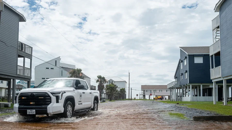
Texas Gov. Greg Abbott has activated state emergency resources as a days-long threat of heavy rain and flash flooding spreads across much of Texas, according to a Sunday press release from his office.
Abbott ordered the Texas Division of Emergency Management (TDEM) to put rescue teams, helicopters, and other emergency equipment on standby. The move comes as forecasters warn that slow-moving storms could dump heavy rain across North, West, Central, South, and East Texas through the end of the week.
"The State of Texas will deploy all necessary resources to help local officials respond to potential severe weather and flash flooding across the state," Abbott said. "I urge all Texans to monitor local forecasts, heed guidance from state and local officials, and always remember: Turn Around, Don't Drown. Texas will support our communities as these threats develop."
For a wider area of West and Southwest Texas, the Midland/Odessa NWS office also issued a flood watch running from 10 p.m. Monday through Thursday evening, according to a separate bulletin issued at 11:35 a.m. Monday. The watch covers communities including Marfa, Alpine, Big Bend National Park, Fort Davis, Sanderson, Fort Stockton, Presidio, Pecos, Monahans, and more than a dozen other cities. Forecasters warned that creeks could overflow their banks, low-water crossings could be flooded, and urban areas with poor drainage could see standing water.
To get ahead of the threat, Abbott directed more than a dozen state agencies to stage personnel and equipment across the state. Resources being made available include swiftwater rescue boats and rescue swimmers from Texas A&M Task Force 1 and Texas Task Force 2; Blackhawk helicopters and high-clearance vehicles from the Texas National Guard; helicopters with hoist capability from both the Texas Department of Public Safety and Texas Parks and Wildlife Department; and medics, ambulances, and all-terrain vehicles from the Texas Department of State Health Services.
Other agencies pitching in include the Texas Department of Transportation, which will keep a close eye on road conditions, as well as the Public Utility Commission, which will track power outages, and the Texas Commission on Environmental Quality, which will monitor water and air quality.
Officials are urging all Texans to put together an emergency supply kit, go over family communication plans, and follow instructions from local leaders. Residents can check DriveTexas.org for up-to-date road conditions, TexasReady.gov for storm preparedness tips, TexasFlood.org for flood information, and tdem.texas.gov/prepare for general emergency guidance.