


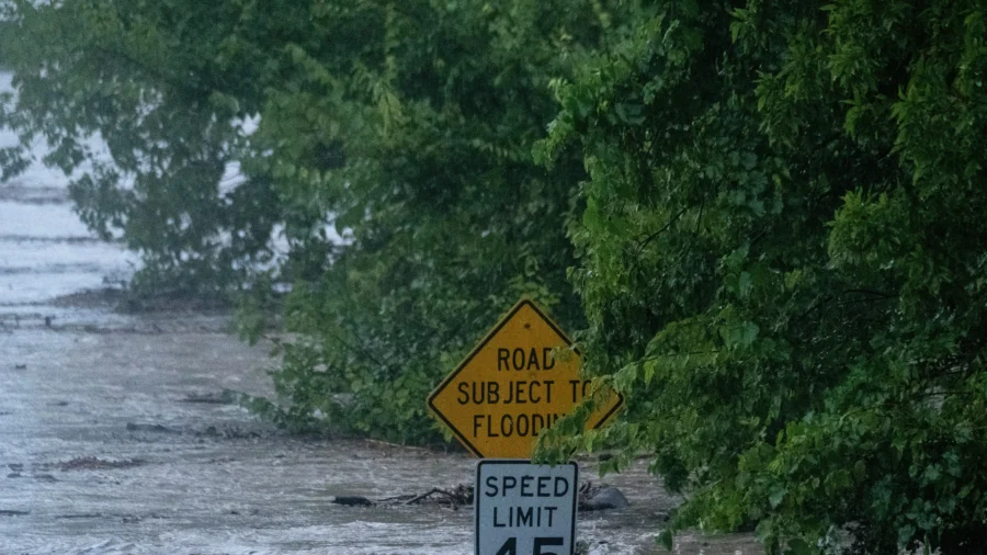
A powerful storm system is set to unleash multiple rounds of severe thunderstorms, sweeping from the Midwest to the East Coast through midweek.
According to the National Weather Service (NWS), strong to severe thunderstorms are expected to impact the Midwest and Great Lakes on Monday and will bring the potential for damaging wind gusts, large hail, and a few tornadoes.
On top of the storms, the area will continue to suffer from bad air quality due to the Canadian wildfires.
This week, the highest likelihood of severe weather stretches from portions of the region, including parts of Minnesota, Wisconsin, Iowa, Illinois, Michigan, and Indiana.
According to the NWS, swaths of damaging winds are the greatest concern, with large hail and a few tornadoes also possible in the strongest storms.
By Tuesday, the storm system shifts east, bringing the potential for severe thunderstorms, torrential rain, frequent lightning, and localized flash flooding, especially during the afternoon and evening in the Ohio Valley, Mid-Atlantic and Northeast.
Kentucky Gov. Andy Beshear warned residents to heed local weather warnings and to stay vigilant.
The highest risk is currently across upstate New York, but the New York City metro area could also see strong thunderstorms, according to authorities.
After the mid-week threat, severe weather is forecast to move gradually offshore, though some strong storms may linger across parts of the Mid-Atlantic and Northeast before conditions improve.
People in the affected areas are urged to monitor local forecasts and be prepared for rapidly changing conditions.
In addition to the severe thunderstorms, parts of the Southeast may also experience heavy rain associated with a tropical depression in the Gulf of Mexico, with the heaviest rainfall expected along portions of the northern Gulf Coast through midweek.