

Tahoe National Forest’s Talbot Fire 15 Percent Contained as Campgrounds Evacuate

The agency said its FIRIS mapping system had most recently measured the fire at about 75 acres.
Published: 8/13/2026, 3:17:27 PM EDT
Tahoe National Forest’s Talbot Fire 15 Percent Contained as Campgrounds Evacuate
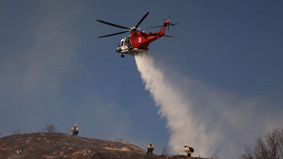
A Los Angeles Fire Department helicopter drops water to contain the Walnut Fire in the Wildwood Canyon shortly after breaking out in Burbank, Calif., on Aug. 8, 2026. (David Swanson/AFP via Getty Images)

A wildfire burning in the Tahoe National Forest has grown to more than 75 acres and prompted evacuation warnings for a nearby mountain community, fire officials said Thursday.

The Talbot Fire started Wednesday at 5:10 p.m. along French Meadows Road, northeast of French Meadows Reservoir, according to Cal Fire. The cause of the blaze remains under investigation.
By Thursday morning, the fire had grown to roughly 75.2 acres and was 15 percent contained, according to a Facebook update from the U.S. Forest Service-Tahoe National Forest. The agency said its FIRIS mapping system had most recently measured the fire at about 75 acres.

An update from Cal Fire the day prior had estimated the fire at 150 acres.

Fire behavior eased overnight, allowing crews to move in and make headway against the flames, according to the Forest Service. Bulldozer lines have since been carved along both the left and right flanks of the fire, while the most active edge of the blaze continues to push northeast toward the Granite Chief Wilderness.

Evacuations and Closures

All campgrounds and recreation sites in the French Meadows area have been evacuated, both for public safety and because of the heavy concentration of firefighting resources in the area. Officials urged the public to avoid the area entirely.
The Placer County Sheriff's Office has issued an evacuation warning covering portions of the national forest along French Meadows Road, including the community of Cedars, authorities announced on social media. An evacuation warning is a lower alert level than an order, meaning residents should "get ready, prepare to leave, and stay alert," the sheriff's office said.

Cal Fire listed the affected zone as "Talbot Fire Zone 1" and said the warning applies to those who may need extra time to leave, including residents with pets or livestock. The sheriff's office said it has stationed deputies within the warning zone in case evacuation orders become necessary.

The response is being coordinated through a unified command structure involving the Placer County Sheriff's Office, the U.S. Forest Service-Tahoe National Forest and Cal Fire's Nevada-Yuba-Placer Unit, along with Placer County Fire.

Cal Fire has published an interactive map showing the boundaries of the evacuation warning zone.

The Talbot Fire is one of several wildfires burning in California this week. In Monterey County, the Timber Fire had grown to 4,245 acres with 7 percent containment as of Thursday, according to a county update on social media. That fire prompted evacuation orders and warnings across multiple zones and forced the closure of Highway 1 between Big Sur Bakery and Julia Pfeiffer Burns State Park.

Firefighters assigned to that blaze spent the overnight hours cutting handline into existing dozer line on Partington Ridge to keep the fire from spreading toward the highway. Crews on the fire's northern edge completed containment lines down to the Big Sur River, the county said, while a marine layer brought humidity levels near 90 percent overnight, temporarily slowing the fire's spread.