
The winter could be particularly harsh and stormy in parts of the Midwest, Great Lakes, Ohio Valley, Northeast, and sections of the mid-Atlantic, according to AccuWeather’s long-range meteorologists.
The forecast predicts winter temperatures below historical averages across the Plains and Midwest, with Arctic air frequently sweeping through these regions. As a result, heating demand is expected to surge well above average, especially in the upper Midwest, where some of the coldest conditions are anticipated.
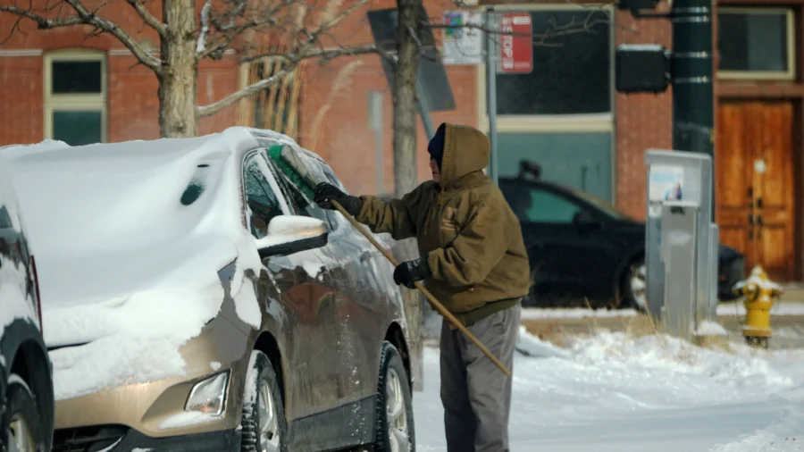
Minneapolis, the Chicago suburbs, and areas north of Kansas City are expected to experience the most frigid air this winter. As a result, heating bills may rise significantly for many residents.
Natural gas bills are also projected to rise, while households using heating oil or propane may see modest decreases, according to the NEADA.
Snowfall is expected to exceed historical averages in portions of the Midwest and Northwest, while much of the East Coast is forecast to experience below-average totals. AccuWeather said Buffalo, New York, could receive 90–100 inches of snow, near its historical norm. The city recorded more than 77 inches last winter.
December is projected to bring frequent storm activity around the Great Lakes, fueled by cold air intrusions that will trigger heavy lake-effect snow. Early-season storms are likely to originate in Canada, sweep into the Midwest, and then progress toward the mid-Atlantic and New England—some potentially intensifying into nor’easters, according to AccuWeather.
Further into the season, the storm track is expected to shift, channeling systems from the Plains and Mississippi Valley into the Midwest, Appalachians, and Northeast.
In the western United States, warm Pacific waters are predicted to influence winter patterns. If sea surface temperatures remain high, the temperature departures can be higher and precipitation much lower in the Northwest, Pastelok shared with AccuWeather.
California and the Southwest are expected to remain drier than average, which is predicted to intensify drought conditions. While the Cascades, Rockies, and northern Sierra should see some snowfall, this winter is forecast to bring fewer atmospheric rivers than last year.
Much of the South is predicted to remain relatively mild, but a major surge of Arctic air could still impact the region. According to AccuWeather, a shift in the weather pattern in late January or early February could allow significant cold air to move into Texas and the Gulf Coast, increasing the chance of snow and ice.
During this same period, the polar vortex has the greatest likelihood of dipping south, potentially bringing some of the season’s coldest temperatures across North America, according to AccuWeather long-range forecasters.