
Alaska’s 1,578-foot tsunami in 2025 ranked as the second-tallest ever documented, driven by a massive landslide that crashed into a remote fjord and sent a wall of water surging up the surrounding slopes, according to a recent scientific study.
Before the failure, the slope showed days of increased microseismic activity, with the rate and size of tiny earthquakes rising until roughly an hour before the mass finally let go.
27 Landslide Tsunamis Recorded Worldwide
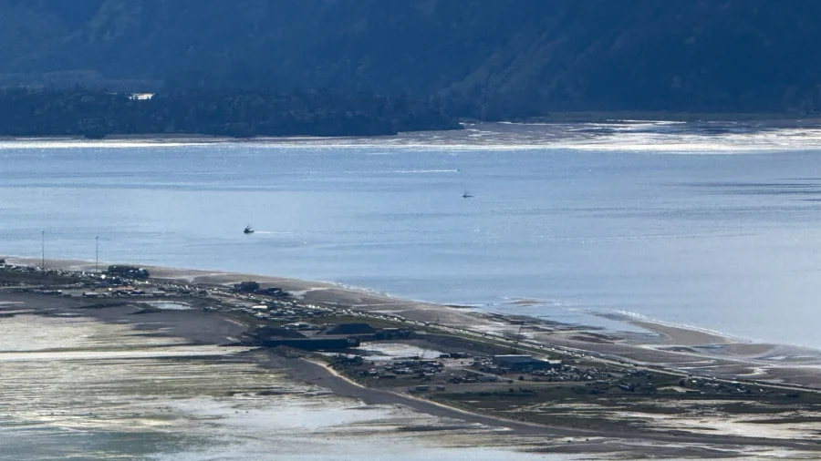
Since 1925, researchers have tallied 27 landslide tsunamis worldwide with runups of at least 250 meters, including the 1958 Lituya Bay disaster. That earlier event was triggered by a roughly 30 million cubic meter landslide set off by a magnitude 7.8 earthquake, and its waves climbed across a ridge that stood 530 meters above sea level.These tsunamis can rise far higher than those produced by earthquakes because they are driven by sudden, localized displacements of water when huge masses of rock plunge into confined basins, most dramatically in places like fjords. The events unfold in minutes, leaving little time to react, which makes early detection and warning of such a major scientific and public safety challenge.
Authors of the paper note that fjords with retreating tidewater glaciers have become increasingly popular with cruise lines and smaller tour boats throughout the Arctic and sub-Arctic, including southeast Alaska. Cruise passenger numbers in Alaska rose from about 1 million in 2016 to an expected 1.6 million in 2025.
At the same time, land-based activities across Arctic and sub-Arctic coasts are also on the rise, bringing more hikers, campers, and boaters into zones where the hazards may not be obvious.