
The San Francisco Bay Area experienced a cluster of earthquakes Sunday morning as dozens of earthquakes rattled the region in quick succession.
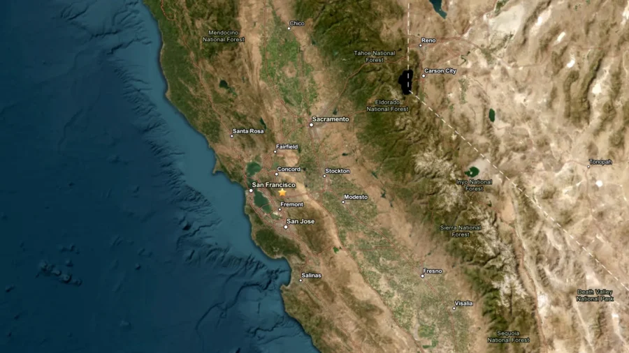
Beginning at 9:38 a.m., the area east of San Francisco was struck by a relentless cluster of 36 tremors over approximately two hours. The tremors, which ranged from magnitude 1.0 to 3.8 according to the U.S. Geological Survey, originated from depths of roughly five miles beneath the surface, about 25 to 30 miles east of the city.
While seismologists classified the quakes as relatively minor, some residents reported strong shaking.
According to Michigan Tech, earthquakes ranging from 2.5 to 5.4 magnitude are frequently felt by residents but seldom inflict significant structural damage. Tremors below 2.5 magnitude often go unnoticed by most people.
The recurring earthquakes underscore an ever-present threat facing California. The Department of Homeland Security defines earthquakes as sudden, forceful ground movements resulting from shifting subsurface rock formations. Beyond the initial shaking, these events frequently spawn catastrophic secondary effects—fires, tsunamis, landslides, and avalanches—that can strike any region without advance notice. However, some areas carry substantially higher risk than others, particularly Alaska, California, Hawaii, Oregon, Puerto Rico, Washington, and territories along the Mississippi River Valley.
California officials have emphasized the importance of preparedness in response to the state's earthquake risk. According to Gov. Gavin Newsom's office, California faces more than a 99 percent probability of experiencing a magnitude 6.7 or greater earthquake within the next 30 years.
To help residents prepare and receive advance warning, California has developed an Earthquake Early Warning System, which uses ground motion sensors throughout the state to alert residents of movement, which usually comes before significant shaking begins. The MyShake app, available in six languages and downloaded more than 4 million times, can provide up to 30 seconds of advance warning for earthquakes of magnitude 4.5 or higher. The free app is accessible on iOS, Android, and Chromebooks, and includes preparedness resources alongside a Homebase feature that allows users to receive alerts at designated locations.