


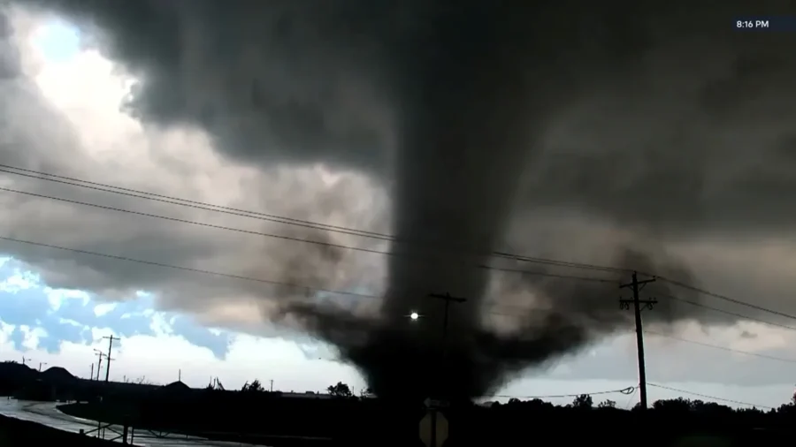
Millions of people across the Northeast and Mid-Atlantic remained under a tornado watch Tuesday evening.
What Forecasters Expect
The center said the primary threats include a couple of possible tornadoes, scattered damaging wind gusts up to 70 mph, and scattered large hail up to 1.5 inches in diameter. The agency noted that thunderstorm intensity had already increased from central New York into eastern Pennsylvania near a warm front pushing northward and northeastward through the region.Forecasters attributed the escalating threat to increasing deep-layer wind shear paired with strengthening low- to mid-level winds, conditions they said could produce more organized storm structures capable of spinning up tornadoes as the storms track eastward. The center added that a second wave of storms carrying its own severe threat was possible later Tuesday evening.
Flooding Threat Compounds Storm Risk
Beyond the tornado and wind threat, the Weather Prediction Center in College Park, Maryland, separately flagged a slight risk of excessive rainfall stretching from the Ohio and Tennessee valleys into the Northeast on Tuesday, warning of pockets of heavier rain and hourly rates likely to raise flash-flooding concerns from eastern North Carolina and Virginia into southeastern Maryland and Delaware. The agency tied that rainfall threat to a strong cold front pulling moisture northeastward from Tropical Storm Bertha in the Gulf, moisture that forecasters said was also fueling the thunderstorm activity feeding Tuesday's severe weather.The Storm Prediction Center urged residents within the watch area to remain alert. "A Tornado Watch means conditions are favorable for tornadoes and severe thunderstorms in and close to the watch area. Persons in these areas should be on the lookout for threatening weather conditions and listen for later statements and possible warnings," the agency said in a statement.