
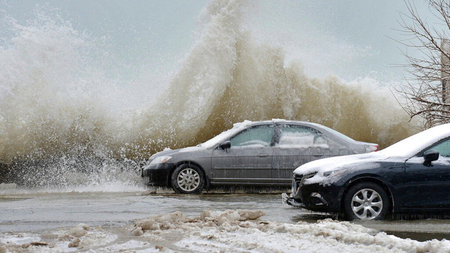
Very big waves are coming to the Great Lakes, with swells that could exceed 14 feet on Feb. 27, according to CNN meteorologist Michael Guy.
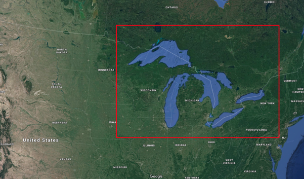
Large waves were seen over southern Lake Michigan after a mass of cold air pushed a north wind over the region. Waves will grow larger in Lakes Huron, Erie, and Ontario throughout the day and peak on their southeast shores with waves up to 10 feet, Guy said. Lake Ontario could even get waves up to 20 feet near the center of the lake.
What makes them so big? Guy said there are three key factors for big waves on the Great Lakes: wind speed and direction, wave direction and fetch—which is the distance over water that the wind blows in a single direction. None can create that wave height without the others.
"If wind speed is slow, only small waves result, regardless of wind duration or fetch. If the wind speed is great but it only blows for a few minutes, no large waves will result even if the wind speed is strong and fetch is unlimited. Also, if strong winds blow for a long period of time but over a short fetch, no large waves form," according to the National Oceanic and Atmospheric Administration.
Thursday's winds are associated with strong winds from a winter storm in the area over the past week, Guy said.
Low ice coverage on the lake this season has contributed to snowfall and blizzard warnings for the region, Guy said. When the lakes freeze, which usually increases in January or February, the moisture source for the lake effect snowfalls is cut off, Guy said.