The Philippines’ Batanes Island region was struck by a magnitude 5.9 earthquake on Friday, The U.S. Geological Survey said on Twitter.
The quake hit the island region at 16:44 UTC and had a depth of 157 kilometers (approximately 97 miles) and was tectonic in origin.
Prelim M5.9 Earthquake Batan Islands region, Philippines Apr-10 16:44 UTC, updates https://t.co/2AhUPZSsA4
— USGS Big Quakes (@USGSBigQuakes) April 10, 2020
The epicenter of the quake was located 16 kilometers northeast of the provincial capital Basco, the Philippine Institute of Volcanology and Seismology, or Phivolcs, reported.
Phivolcs warned the public for possible aftershocks but said no damage is expected.
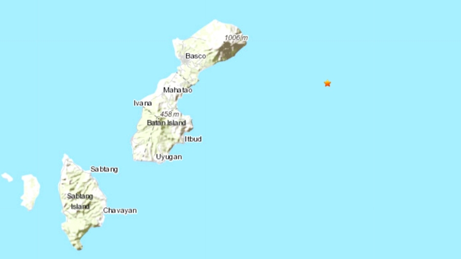
The Batanes Islands are in the northernmost region of the Philippines and make up the smallest province, in both land area and population.
#EarthquakePH #EarthquakeBatanes#iFelt_BatanesEarthquake
Earthquake Information No.2
Date and Time: 11 Apr 2020 – 12:44 AM
Magnitude = 6.0
Depth = 157 kilometers
Location = 20.49N, 122.33E – 037 km N 86° E of Basco (Batanes)https://t.co/lNO42KbRdl pic.twitter.com/COFC40xvgv— PHIVOLCS-DOST (@phivolcs_dost) April 10, 2020
Last year, a series of earthquakes hit Batanes in the early morning hours of July 27, 2019.
The quakes hit Itbayat town, killing 9 people and injuring 60 others, toppling historic buildings and limestone houses and driving terrified locals into the streets, The Inquirer reported.
Two quakes—magnitude 5.4 and magnitude 5.9—struck within hours of each other, according to bulletins from Phivolcs. A third quake shook the provincial capital Basco later that morning with a magnitude of 5.8 while a weaker 4.9 tremor was recorded by Phivolcs.
Several aftershocks followed over the next few days.