
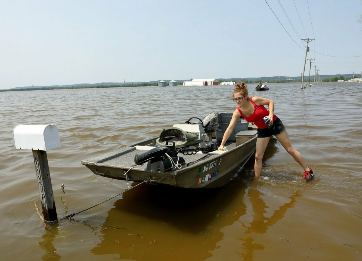
ST. LOUIS—The swollen Missouri and Mississippi rivers are closing hundreds of roads and inundating homes and businesses.
Locks and dams upstream of St. Louis are shut down as the Mississippi River crests at its second-highest level on record in some areas, straining agriculture levees.
Floodgates also have been closed in St. Louis in advance of the river cresting there Thursday.
The high water already is causing problems. The St. Louis Post-Dispatch reports that several hotels that were crowded with visitors for the Stanley Cup Final and Cardinals-Cubs baseball games were left without hot water Sunday after too much water overwhelmed a pump station.
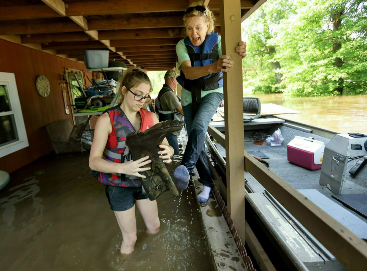
Mandatory Evacuations in Missouri
States along the Mississippi are experiencing their own threats from the rising water levels. In fact, 80 flood gauges running through 10 different states—from North Dakota to Louisiana—are indicating major flooding, the highest category.A levee failure on the Mississippi River has caused a mandatory evacuation of residents in West Quincy, Missouri, the Marion County Sheriff's Office told CNN.
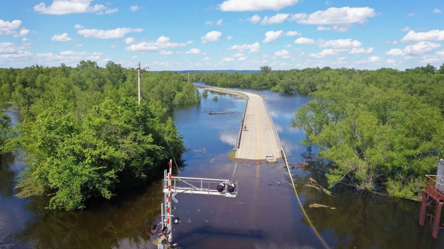
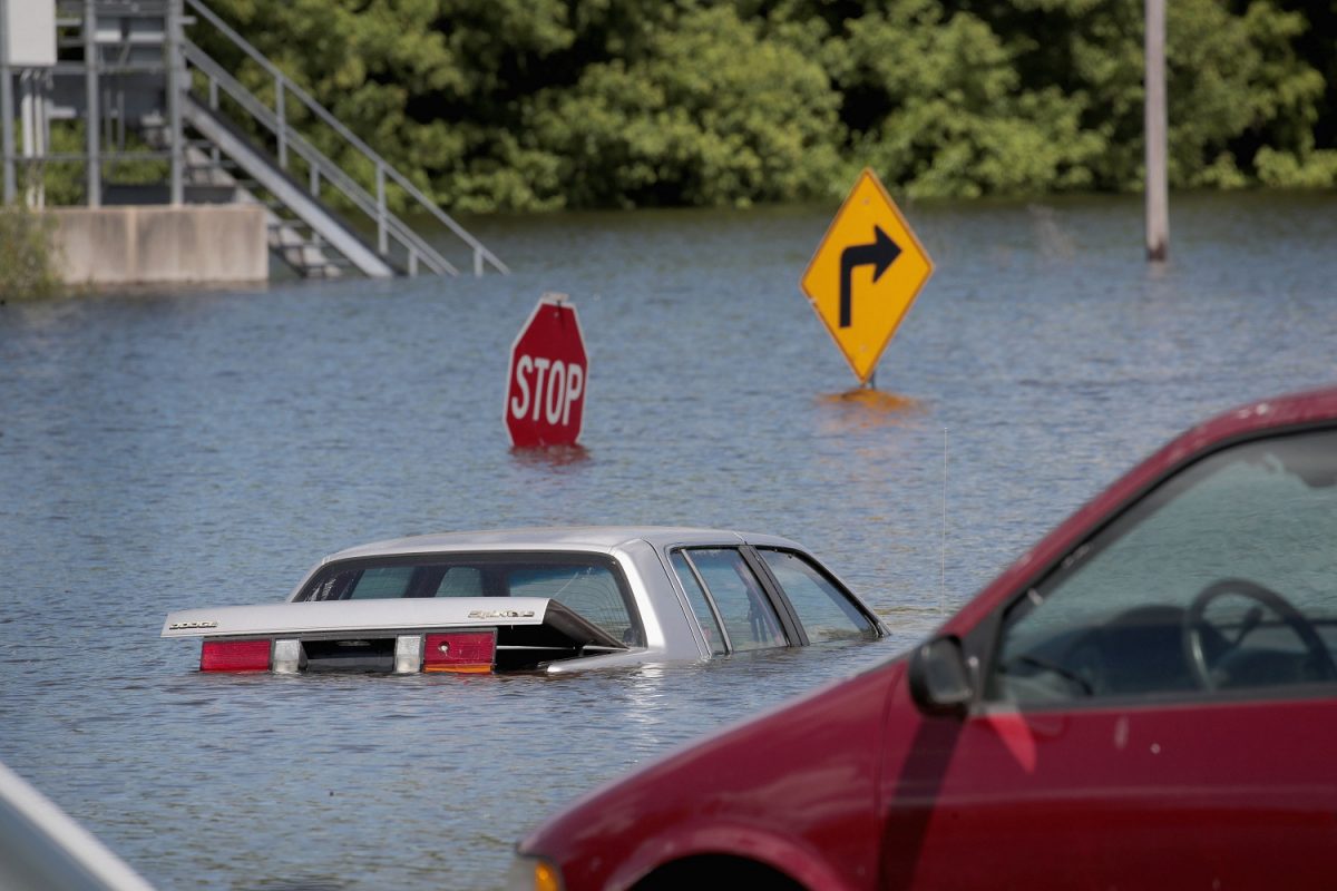
And according to the Missouri Department of Transportation, 400 roads are underwater, with the potential for more to come.
The Mississippi River in St. Louis is expected to crest next Tuesday around 46 feet—the second-highest level on record behind the 1993 floods. It would also be the second Top 7 crest of all time just this year—with the previous being 41.7 feet on May 6.
Some of the high water has come from heavy rains: CNN Meteorologist Brandon Miller says portions of northern Oklahoma through central Kansas have seen 15-20 inches of rain during the month of May, which is 300 to 400% of the normal amount.
Mississippi River Breaches Pin Oak Levee
Emergency management officials say residents in and around the town of Winfield in northeast Missouri should evacuate after a leave there was breached.Lincoln County Emergency Management officials said water started going over the Pin Oak levee in Winfield just after midnight Sunday and the levee had been breached by Sunday afternoon.
The warning said at the rate the water is moving, it was expected to reach homes in east Winfield Sunday evening.
Winfield, a town of about 1,400 people, is about 55 miles northwest of St. Louis.
Emergency Flooding
The Army Corps of Engineers' New Orleans district announced that while it will be later than expected, they plan to operate the Morganza Floodway on June 9.The floodway is designed for emergency flooding and when operated, diverts excess floodwater from the Mississippi River to the Atchafalaya Basin, according to the Army Corps of Engineers.
The operation of the floodway itself can cause damage to properties surrounding it, the department said.
It was only operated twice before: once in 1973 and once in 2011.