
A tornado, first reported as a landspout before it fully developed, could be seen from the ground and from the air Monday afternoon across Weld County in Colorado.
The landspout was first spotted near Firestone. As it moved northeast, toward Platteville, it became a "well-developed tornado," according to trained storm spotters.
National Weather Service employees took photos of the tornado as it developed in Frederick and north of Longmont.
No injuries were reported, though there was damage, according to tweets by the Weld County Office of Emergency Management and the weather service.
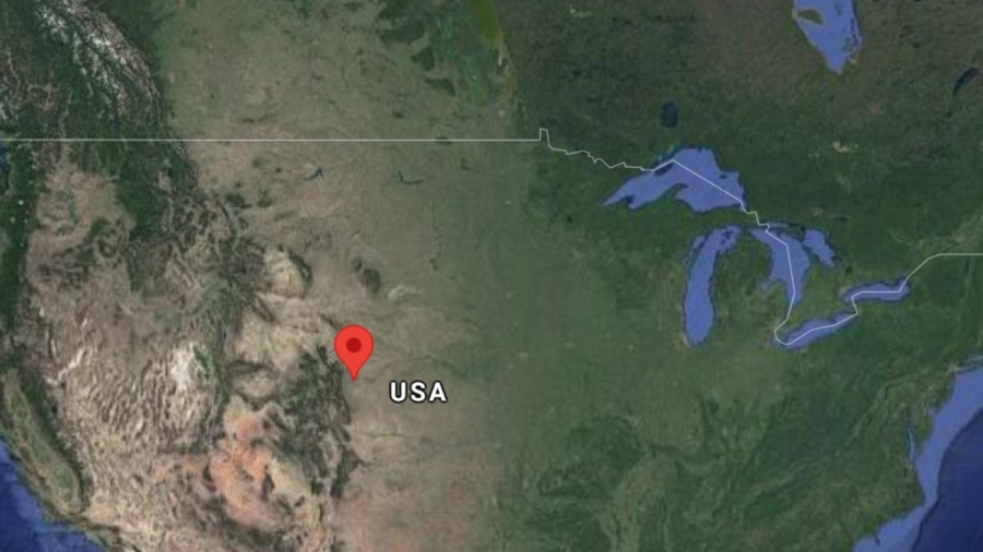
"Weld County, where the tornado formed, is the No. 1 county in the US for producing tornadoes," CNN meteorologist Brandon Miller said.
"Tornadoes in Colorado are typically short-lived and on the weaker side (usually EF-0 or EF-1 on the Enhanced Fujita Scale) and are often referred to as landspouts."
Like their counterparts—waterspouts—that form over water, landspouts are not produced by supercell thunderstorms like the larger and more destructive tornadoes that are known to form over the Great Plains.
"Landspouts in Colorado generally spin up in more ordinary thunderstorms that rotate due to changes in winds that occur because of the drastic changes in terrain," Miller explains.
It's not unheard-of to see tornadoes from some distance in the Plains.
"In this case, there was only a single storm that formed north of Denver and the airport, which made it easier to see from the plane," CNN meteorologist Dave Hennen said.