Clusters of Earthquakes Hit Nevada Region

This is the third consecutive week where the area has experienced a major earthquake.
Published: 5/1/2026, 11:22:48 PM EDT
Clusters of Earthquakes Hit Nevada Region
A map shows the location of a 5.2 magnitude earthquake that struck 12 miles southeast of Silver Springs, Nev., on May 1, 2026. (USGS)

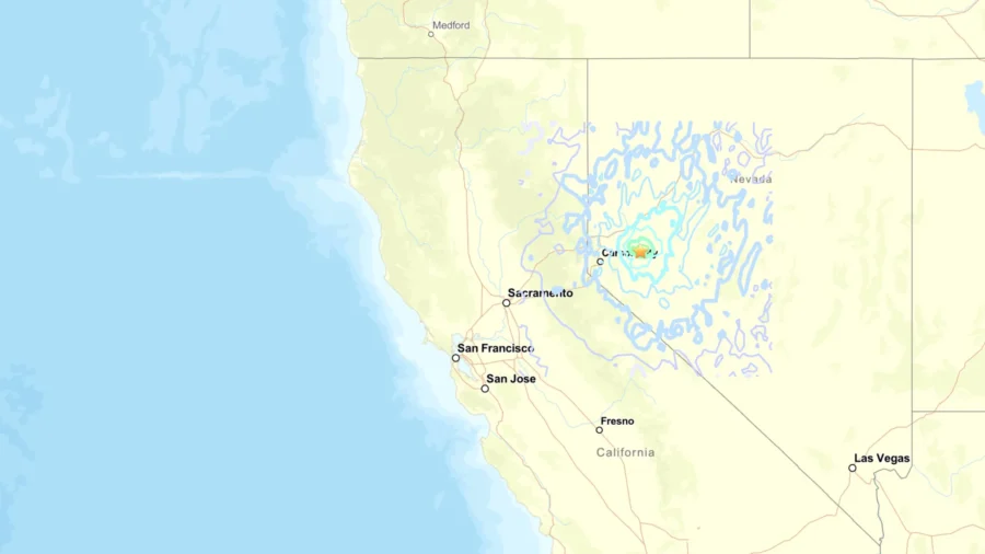
Nevada is in the midst of a potential earthquake swarm.

A magnitude 4.3 earthquake was recorded by the U.S. Geological Survey at around 1:16 a.m. local time on May 1 roughly 12 miles southeast of the small town of Silver Springs. A second earthquake, this time a magnitude 5.2, was recorded a few minutes later. The quakes came after significant quakes were previously reported in the same area.

USGS also reported 9 other magnitude 2.5+ quakes in the area on the same day.

The earthquake on May 1 was felt as shaking in the surrounding areas, officials with Lyon County reported. There were no reports of major damage or injuries at the time.

This is the third consecutive week where the area has experienced a major earthquake. A week prior, on April 23, county officials reported a magnitude 4.7 quake.

On April 13, the area was hit by a magnitude 5.7 quake, with three significant aftershocks, of magnitudes 3.6, 2.8, and 3.0.

The weeks of quakes potentially represent an earthquake swarm. According to the USGS, an earthquake swarm is "a sequence of mostly small earthquakes with no identifiable mainshock." They are typically associated with geothermal activity. They typically recur at the same location, and while typically short-lived, they can last days, weeks, or months.

Nearly 400 Earthquakes Recorded

According to the Tahoe Daily Tribune, the Nevada Seismological Laboratory at the University of Nevada, Reno, recorded a total of 371 quakes between April 13 and 22; 83 of them had a magnitude of 2.5 or greater.

“This earthquake sequence is on a fault we didn’t know about before it started, crossing the Dead Camel Mountains,” Christie Rowe, director of the NSL, told the outlet. “We’ve had reports of minor damage in Fallon and at Fort Churchill to some of the historic buildings.”

According to a 1989 newsletter article from the Nevada Bureau of Mines and Geology, the Silver State is one of the most seismically active regions of the United States. It lies within the Basin and Range Province, which is actively being pulled apart in the northwest-southeast direction and is riddled with fault lines. A quake of magnitude 6 or greater occurs roughly every 10 years; quakes of magnitude 7 or greater occur every 17 to 44 years.

The Nevada Seismological Lab deployed aftershock kits to the region that helped them track the quakes better, but there are thousands of fault lines in the state, and only the ones that have broken the surface are known.

“When a fault lies quiet for thousands of years, erosion can erase it from the landscape,” Rowe explained. “It lies hidden until the next earthquake.”

In 2008, researchers logged more than 1,000 earthquakes in the span of about two months near Mogul, a suburb of Reno. The largest quake measured 4.7, but smaller shocks occurred multiple times a day at one point. Between February 28 and April 22, there were 400 quakes, the Los Angeles Times reported at the time; but between April 22 and May 1, more than 500 were recorded.